Columbus Cartography

Paper
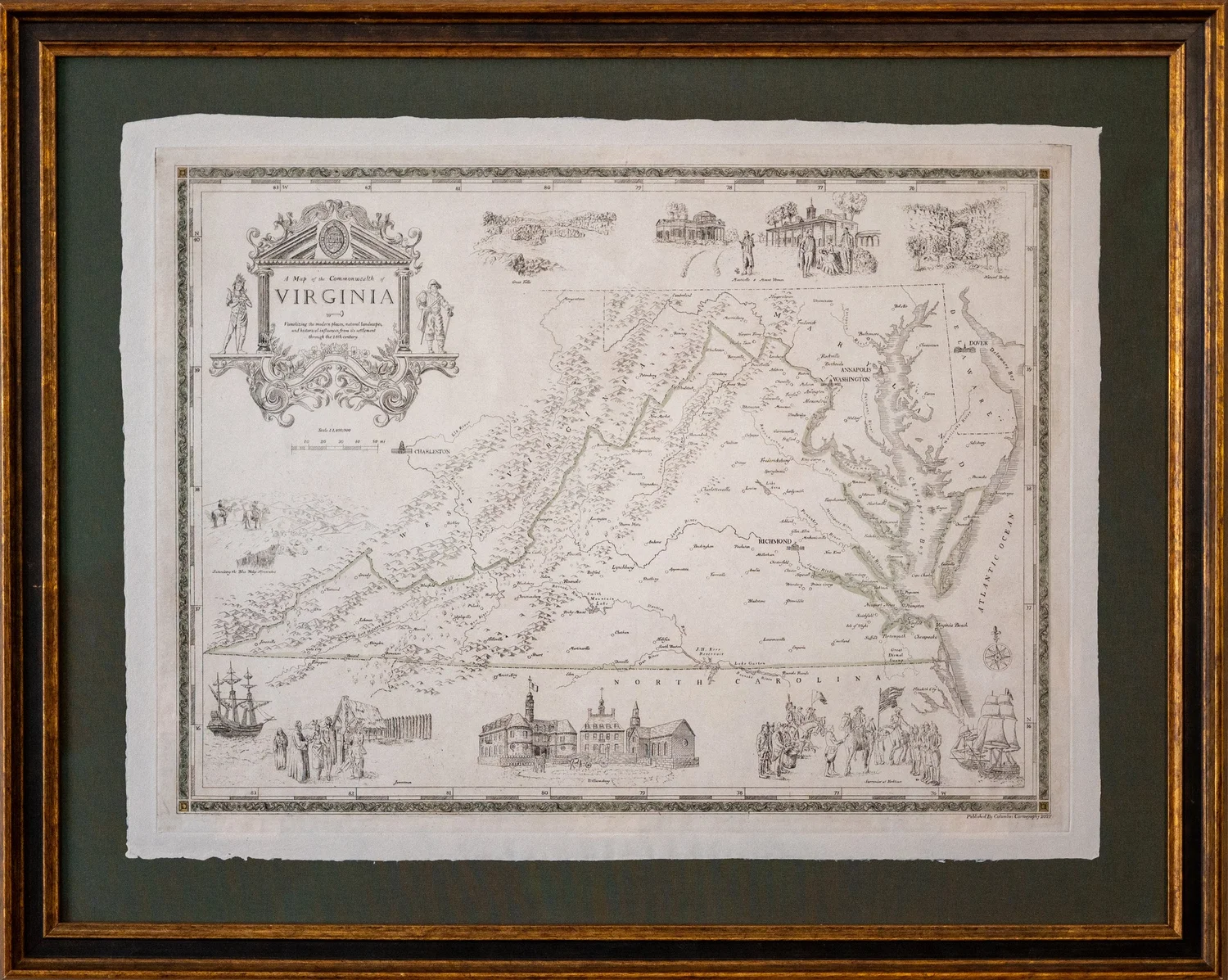
I create modern geography maps with a traditional, antique look. My maps are hand-designed, etched, printed and watercolored using traditional 16th-19th century copperplate etching and cartographic techniques. I print on custom, hand-laid paper made from natural cotton and abacá fibers. I include illustrations to help visualize the modern places, natural landscapes, and historical influences which give meaning and influence to the local geography. I do my own research and meet with local people making sure what they know and are familiar with is represented on the map.
These maps are originals. They’re not replications of antique maps, but I do try to incorporate similar styles and methods of previous time periods.